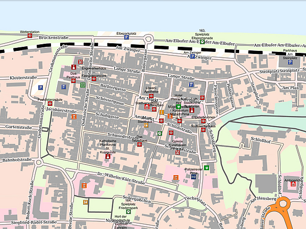
High-quality geographic information on Pirna
Geo data provide information on objects, terrain and infrastructure to which a certain geographic location on the earth’s surface can be assigned. They describe individual items of a territory and can be linked together using spatial references.
Over recent years, it has become increasingly important for high-quality digital geographic information to be made available for numerous areas in the fields of politics, economics, science and administration. Whether as an asset, location factor or decision-making tool, geographic information has managed to find its way into numerous areas of day-to-day life.
The geoportal provides quick, visual answers to an array of questions:
- Where is a certain address located within the urban area?
- What is a certain area to be used for according to the zoning plan?
- What are the catchment areas for schools in Pirna?
Just a few clicks on the interactive maps will provide you with the information you require - comprehensible and clearly structured.


